 |
www.ernst-christen.ch
Ernst's Velotouren |
| |
| Home |
| Reiseblog |
| Tourenarchiv |
| GPS-Daten |
| Infos & Tipps |
| Presse |
| Bücher |
| Kontakt |
| Radreise & Fern-radler Forum |
ENGLISH SITES |
| Travelblog |
| Route |
| Contact |
|
|
Second stage South East Asia - Australia Part 5: Central an Southern Australien, April 2011 |
Download Tour GOOGLE EARTH / GARMIN MAP SOURCE |
 |
| Overview, for details see Google Earth or Garmin-File. |
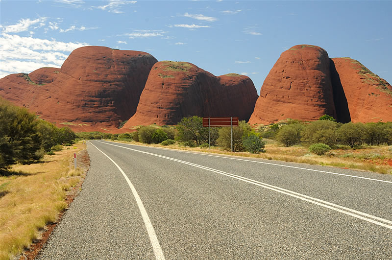 |
| Picture: The Kata Tjuta, or "the Olgas" as they were called earlier, are a major attraction in the vastness of the outback. The highest peak of this mountains is 564 m above its surroundings.'Kata Tjuta' means in the language of the local Aboriginal people, "many heads". The European explorer Ernest Giles was the first European who found this place about 1870. He named it after Queen Olga of Württemberg "The Olgas". In 1995, the mountains were officially returned to the Anangu Aboriginals and renamed back to Kata Tjuta. |
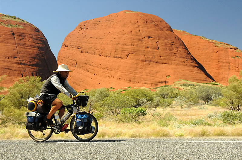 |
| Picture: Passing Kata Tjuta towards Uluru. |
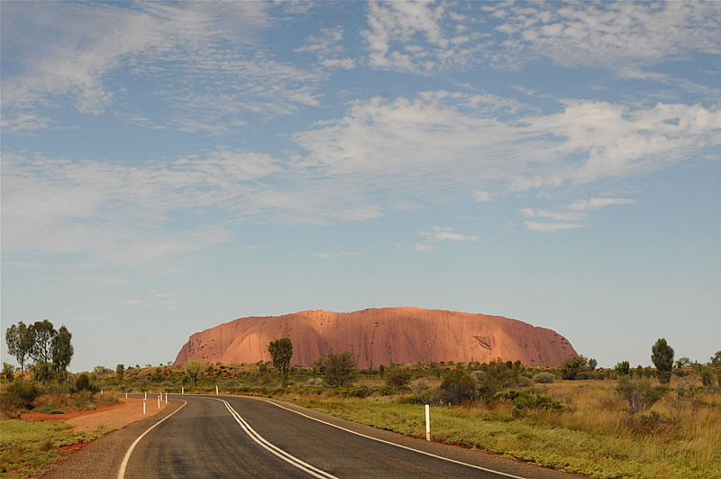 |
| Picture: A few kilometers after Kata Tjuta appeared on the horizon the extremely massive Uluru. |
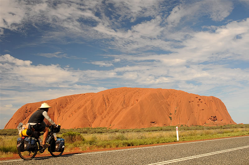 |
| Picture: Uluru ("shady place"), formerly Ayers Rock, is an island mountain of sandstone, about 3 km long and up to 2 km wide. Its outline is about 9 km long and its highest point rises 348 m from the surrounding plain. Gigantic. The Uluru is not a monolith, as is generally beleived, but part of a largely subterranean rock formation, which also includesKata Tjuta. The local Aborigines (the Anangu) consider this mountain as well as Kata Tjuta, a sanctuary, which in their view should not be climbed. Thus, the ascent is tolerated but not welcomed. |
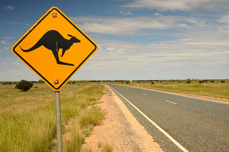 |
| Picture: From Yulara I ride two days on the Lasseter Highway to the Erldunda Road House, where I'll turn on the Stuart Highway. The two days are marked by a strong headwind. |
 |
| Picture: At the Roadhouse Erldunda I have reached the Stuart Highway, which connects southern and northern Australia through the middle of the outback. Best-known stop on the street is Alice Springs. |
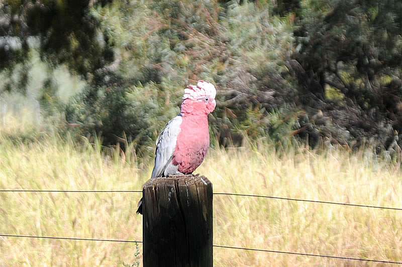 |
| Picture: Again and again I am amazed about all the parrot species that exist in the outback. If I camp somewhere in the bush, I am awakened ever morning by the croaking of the parrots. They are very nice to look, but singing is theire weak point... |
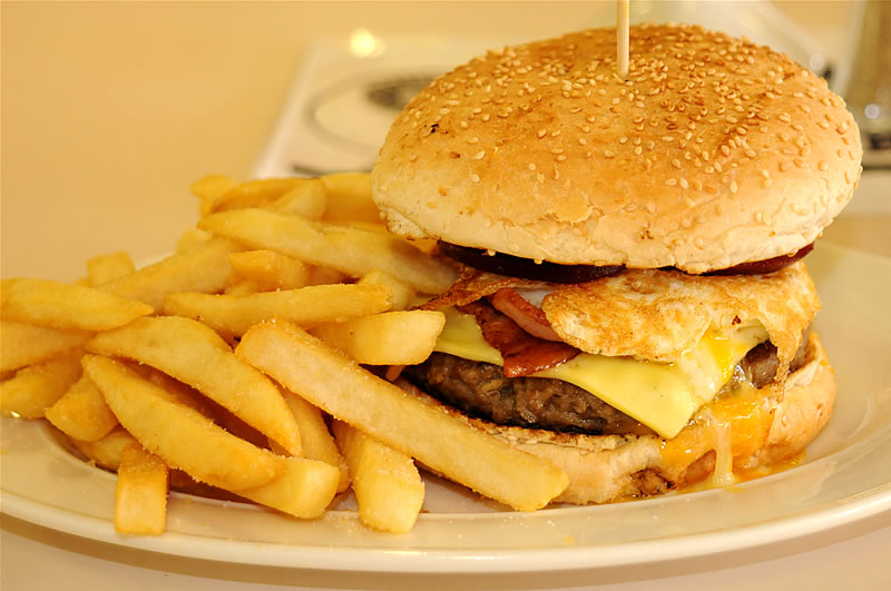 |
| Picture: The standard menu at any Road House: "Hamburger and chips". Usually there is nothing else to eat than hamburgers in different variations. |
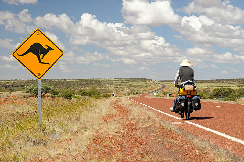 |
| Picture: On the way to Coober Pedy, about 250 km through lonely Outback. |
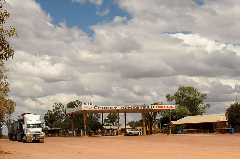 |
| Picture: The only supply point on the 250 km between Marla and Coober Pedy is the Cadney Homestead Roadhouse. |
 |
| Picture: Endless landscape on the Stuart Highway. |
 |
| Picture: The whole landscape of Coober Pedy is so undermined by the opal mines, that signs are warning of walking around or going backwards. Large parts of the surrounding area of the small city look through the excavation of the mines like lunar landscapes. The name Coober Pedy comes from the Aboriginal word "kupa piti" and meanscharacteristically "white man in the hole". Most residents of Coober Pedy live due to the extreme temperatures in summer in fact in underground caves. |
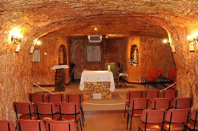 |
Picture: Underground church in the centre of Coober Pedy . |
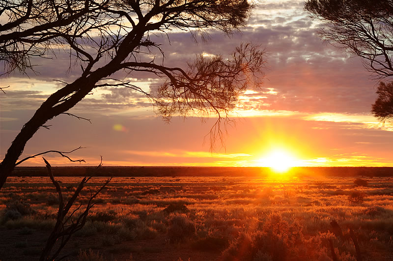 |
| Picture: Another night in the tent in the outback far from any civilisation. |
 |
| Picture: Every night in the outback I look fascinated to the glittering stars. There are not many places in the world where they shimmers so clear. Left from the celestial South Pole, from the star Sigma Octantis (or Polaris Australis) are seen in the picture even the Magellanic Clouds, two dwarf galaxies in the immediate neighborhood of our Milky Way |
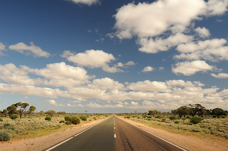 |
| Picture: Uniform landscape (about 300 km north of Australia's south coast) which has not changed at all in the last 3000 km |
 |
| Picture: Lake Hart, a salt lake a few hundred kilometers north of Port Augusta. |
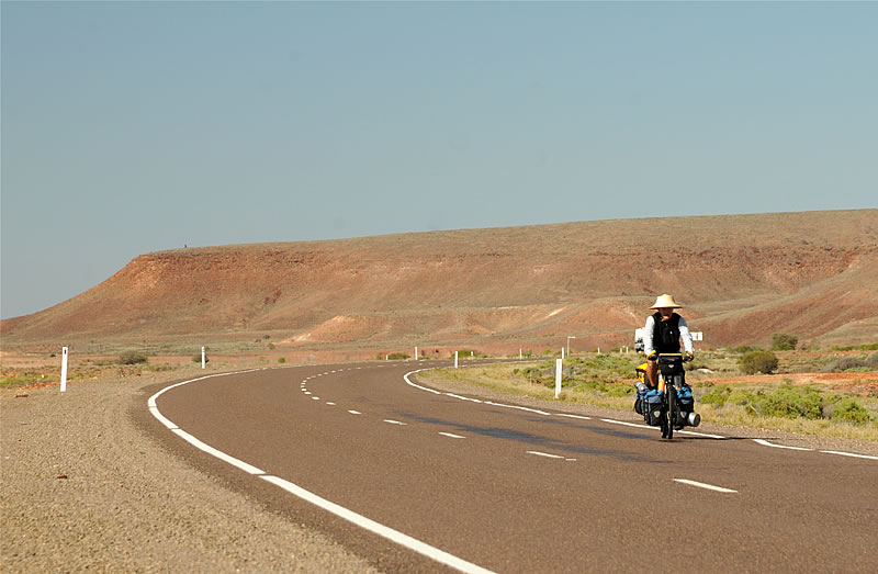 |
| Picture: The second last day in the outback. Tomorrow night I will reach at Port Augusta at the south coast of Australia. |
 |
| Picture: As soon as I reached the coast, I was back in civilization. Now I will reach on my way to Melbourne every day a town with supermarket, camping and hotel. Not unpleasant but after the transition of the outback not really challenging. |
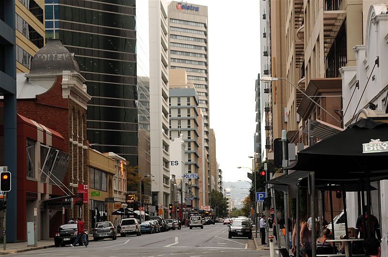 |
| Picture: After 7 weeks alone in the Outback I was completely confused arriving in the bustling metropolitan Adelaide (approximately 1 million inhabitants). The people here are twenty-four hours a day, seven days a week running after their businesses and pleasures. Here I have organized the third stage of my trip and fly end of May from Melbourne to Anchorage in Alaska. |
 |
| Picture: Skyline of Adelaide. After a few days in the city I drove the bike in the rainy autumn weather trough the Lofty Ranges.The daily high temperatures barely reaches 15 degrees C. |
 |
| Picture: Vines in late autumn. Located in the vicinity of Adelaide, the Barossa Valle is, the most famous wine region of Australia. |
 |
| Picture: In the next few days it has been rainy and cold. And in the news I have heard that the snow line in Tasmania has already fallen below 800 m. The thermal underwear is already now at hand ... |
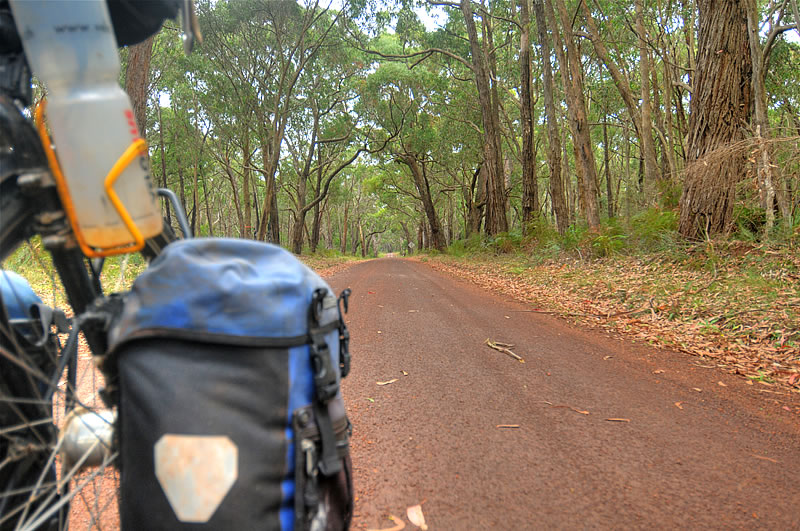 |
| Picture: Intensely fragrant eucalyptus forest in the state of Victoria. Since a few days ago many things have changed on this tours. It has become hilly, the weather is wet and cold. |
Great Ocean Road |
| The Great Ocean Road, a 250 km long road along the south coast between Warnambool and Geelong in Victoria, is a major tourist destination. The road offers great views of the Southern Ocean and is one of the most spectacular coastal scenery in the world, created by erosion from wind and water. Most known rock formations are "the twelfe Apostles" "Loch Ard Gorge", "the Razor Back" and "London Arch" |
 |
| Picture: Craggy cove with a sandy beach near the "Razorback". |
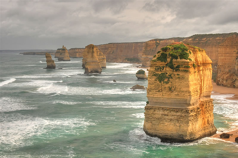 |
| Picture: The Twelve Apostles in gray, cold rainy weather. At the beaches are living little penguins, feeling comfortable in this cold climate. |
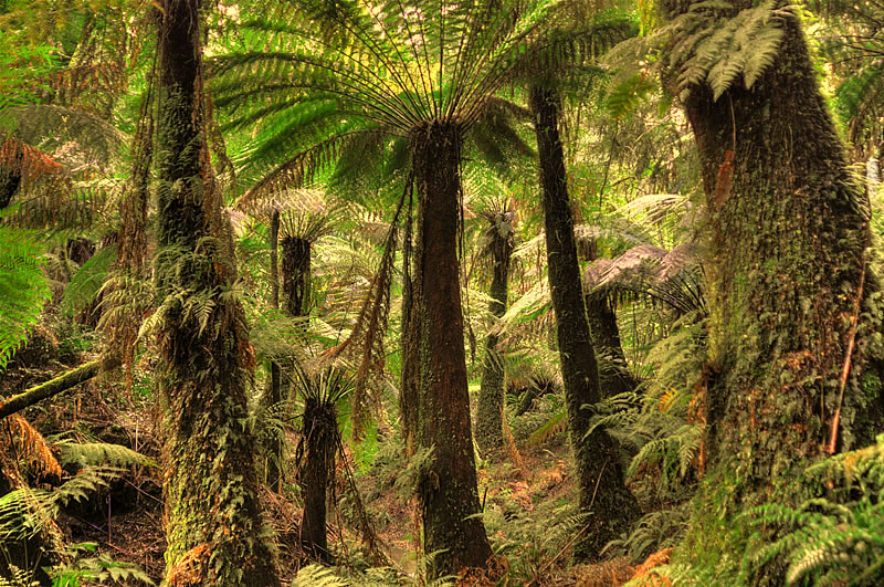 |
| Picture: A highlight on the Great Ocean Road are the Otway mountains with their fabulous rain forest. Ferns grow here to over 5 meters tall trees. Between the trees kangaroos and colorful parrots can be seen, and in the heights of the eucalyptus trees are dozing koalas. |
 |
| Picture: Heavy rain clouds over the Southern Ocean and the Great Ocean Road. In the southern winter the climate is often influenced by the Antarctic. Today it snowed for the first time shortly. The snow line has fallen below 800 m altitude ... |
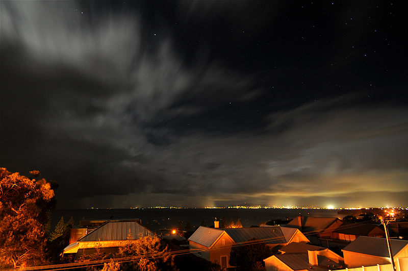 |
| Picture: Night at the Port Phillip Bay at Sorrento. When I reached the end of the Great Ocean Road in Geelongand I crossed with a ferry to Sorrento on Port Phillip Bay south of Melbourne.  |
| Picture: On a stormy day I reached Melbourne in the pouring rain. That same hour, I booked the trip on the ferry "Spirit of Tasmania" to Devonport, Tasmania. |
|
Next site: Tasmania |
|
|
|
|