 |
www.ernst-christen.ch
Ernst's Velotouren |
| |
| Home |
| Reiseblog |
| Tourenarchiv |
| GPS-Daten |
| Infos & Tipps |
| Presse |
| Bücher |
| Kontakt |
| Radreise & Fern-radler Forum |
ENGLISH SITES |
| Travelblog |
| Route |
| Contact |
|
|
Stay in Thailand Part 2: Preparatory tour Mekong prt. 1 , Sept. & Oct. 2010 |
Download tracks and waypoints GOOGLE EARTH / GARMIN MAP SOURCE |
 |
| Overview, for details see Google Earth or Garmin file. |
 |
| Picture: Altitude profile Mekong Tour prt. 1 / 1690 km, 16 days |
THAILAND CHIANG MAI, NAKHON SAWAN, SARABURI, ARANYA PRATHET |
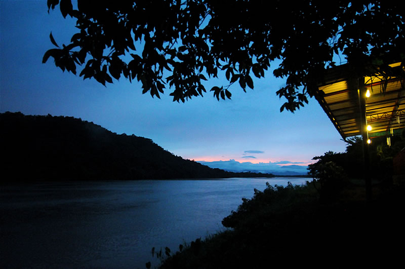 |
| Picture: Evening at the Ping River close to Tak. |
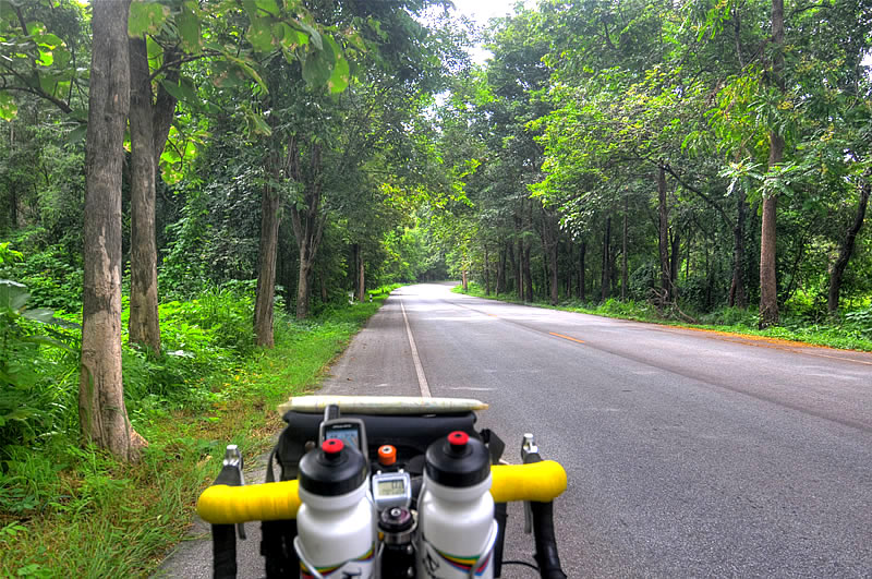 |
| Picture: With only little traffic trough the forests of the province Tak. |
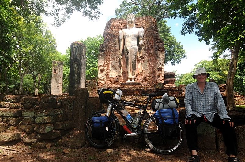 |
| Picture: In the "Historical Parc" of Kamphaeng Pet. The city was founded around 1360 by the king Lue-thai and served long time as a garrison town for the ancient kingdoms Sukothai and Ayutthaya. Everywhere around the modern Kamphaeng Phet are many interesting archeological sites to see. |
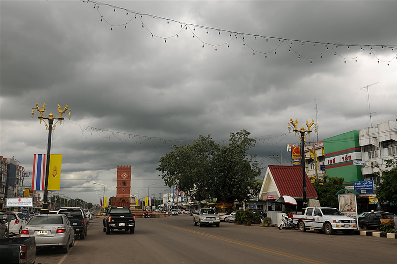 |
| Picture: Heavy rain clouds over Kamphaeng Pet. |
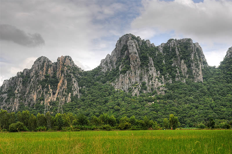 |
| Picture: Beautiful landscape shortly before Nakhon Sawan, about 260 km north of Bangkok. |
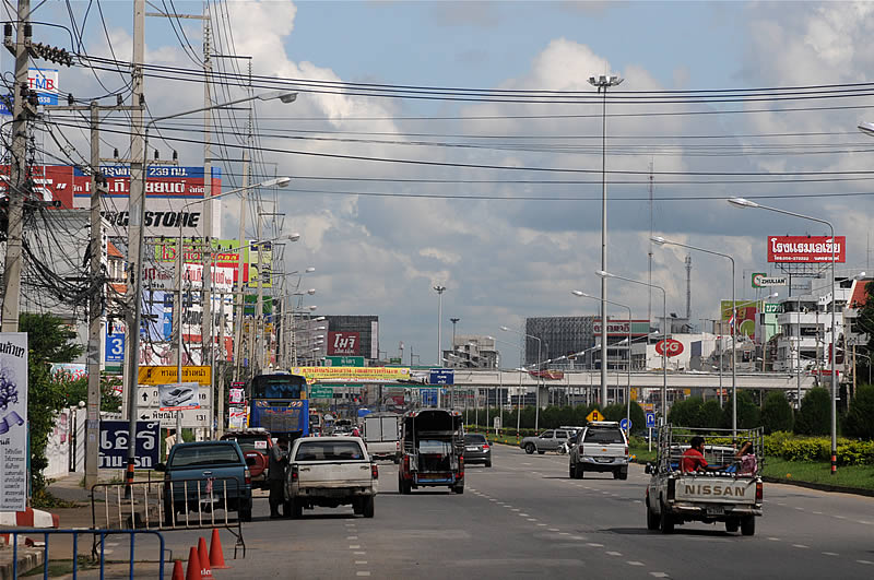 |
| Picture: Transit road in Nakhon Sawan. |
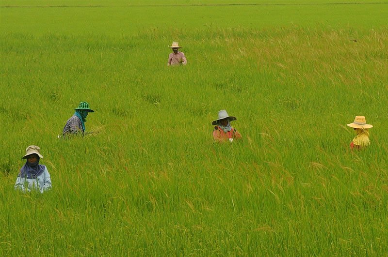 |
Picture: Farmers working in the paddy fields in the region of Bangkok. |
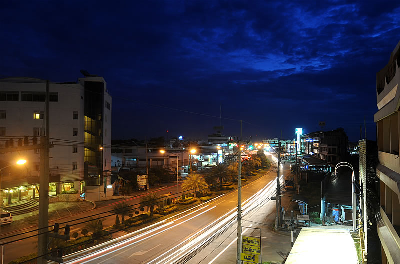 |
Picture: Evening in Sing Buri. |
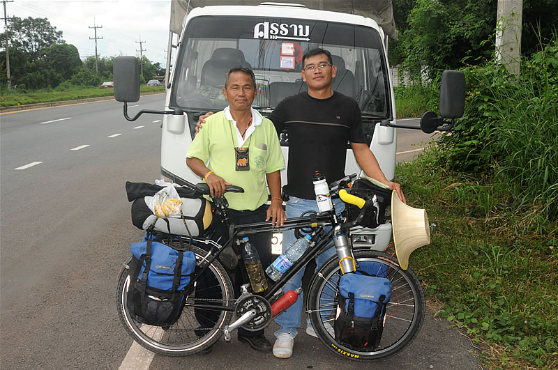 |
| Picture: Those two drivers of a pickup-track stopped me in the region of Kabinburi because they wanted to take picture of me. |
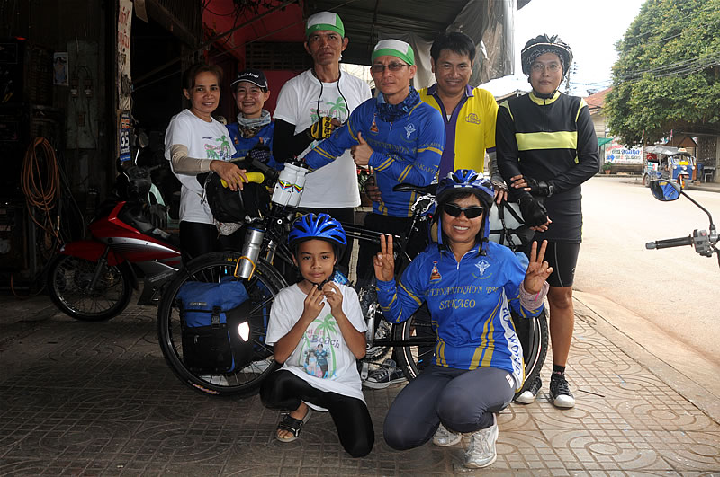 |
| Picture: Enthusiastic reception by the Cycling Club of Sa Kaeo in Aranyaprathet at the Cambodian border. |
KAMBODSCHA SISOPHON, SIEM REAP, KAMPONG CHAM, KRATIE, STUNG TRENG |
| Cambodia has emerged from the kingdom Kambuja, which has reached its zenith between the 9th to 15th century. After the independence from France in 1953, decades of civil warfollowed which left millions of victims and severe damage to the whole country. Also the Vietnam War (nationwide bombings of the U.S. Army) and the dictatorship of the Khmer Rouge from 1975 to 1979 (see below) brought nothing but grief and misery to the cambodian population. Cambodia was pacified in the late nineties and recovers now slowly from its severe war wounds. |
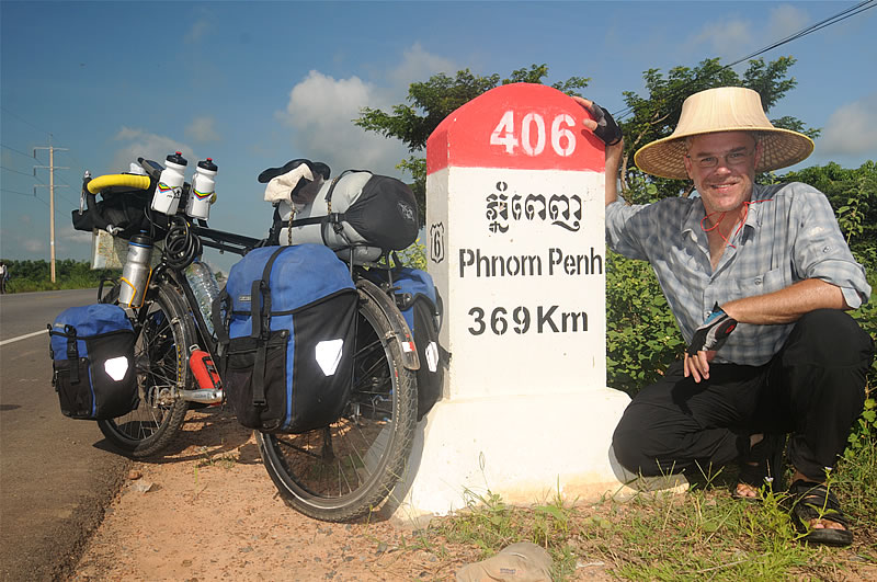 |
| Picture: Heading towards Phnom Phen, the capital of Cambodia. |
Angkor |
| Angkor is located in the region of Siem Reap in Cambodia and was the center of the Khmer kingdom Kambuja. On a total of more than 200 square kilometers were successively built several capitals with a large main temple in the center. Until today, more than 1,000 temples and shrines of various sizes are discovered around Siem Reap. Jayavarman II (born 8th century, died 9th century) is the founder of the Khmer empire of Angkor. |
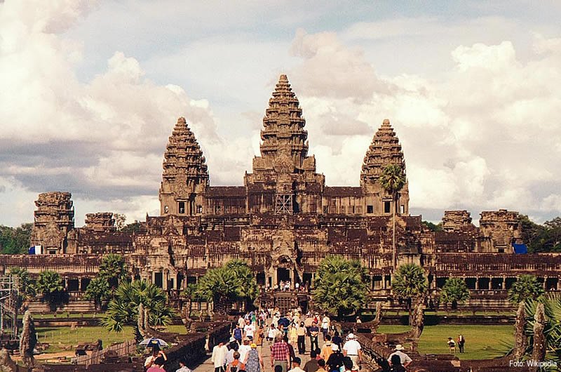 |
| Picture: Angor Wat is the largest and most famous temple in the region. Until today it is not clear if Angkor Wat is just a temple or the crave for a king. The hindu rulers of Angkor saw themselves as representatives of God Brahma, under whose protection they was the whole kingdom. Historians believe that Angkor Wat was built during the reign of king Suryavarman II (ca. 1095-1150). The huge buildings have many damages. Weather, tropical vegetation and human devastation (for example the looting by the Siamese in the 15th century) have damaged the temples. |
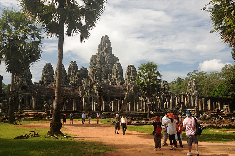 |
| Picture: The Bayon is apart of Angkor Wat the best known temple of Angkor - especially famous for its towers with meter-high carved stone faces. King Jayavarman VII (reigned from 1181 until about 1219) began with the construction of the new capital of the Khmer Empire Angkor Thom (big city) in the late 12th Century. The Bayon was the center of this new city. |
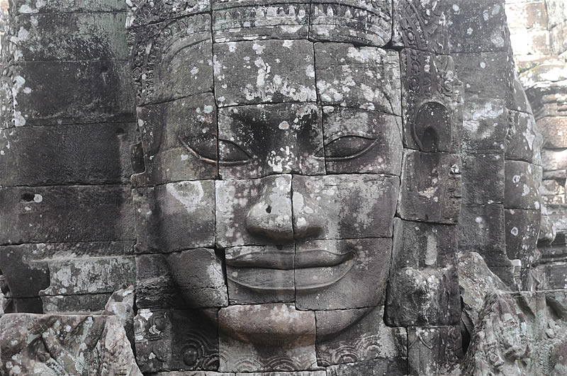 |
| Picture: Buddha-face of the Bayon. |
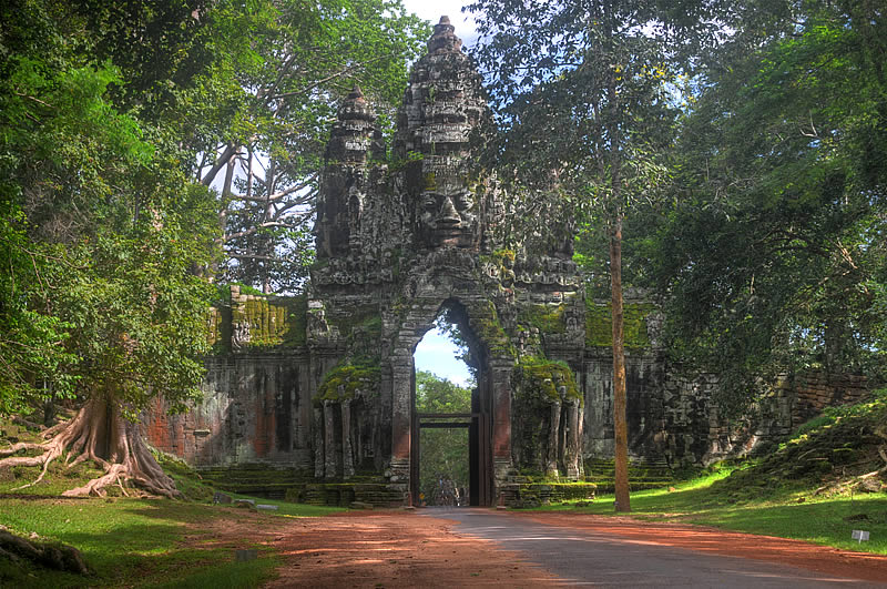 |
| Picture: City gate of Angkor Thom. |
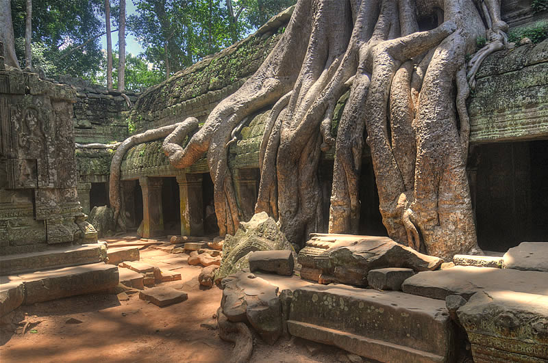 |
| Picture: Ta Phrom is a temple complex consisting of temples, monasteries, several smaller buildings and the surrounding wall with towers and gates. Ta Prohm was built from in the late 12th Century. |
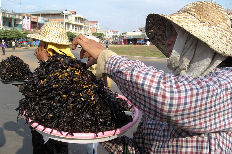 |
| Picture: Despite all my culinary openness I don't fell tempted to try this typical cambodian delicacy. The two women sell fried tarantulas ... |
The "Killing Fields" of the Khmer Rouge |
| Between 1975 and 1979, until the invasion of the Vietnamese army, the Khmer Rouge in Cambodia killed about 2 million women, men, old people, children. After the fall of Pol Pot throughout the country over 300 execution sites were discovered, where millions of people (20% of the population) were brutaly murdered in the name of politics. Choeung Ek is the most famous of the so-called "Killing Fields". There, more than 9,000 skulls of the slaughtered men, woman and children can be seen in a huge buddhist shrine. The horror regime of Pol Pot was supported with arms, training and logistics by several Western countries, mainly from the U.S., UK and Germany. Margaret Tatcher said that there are very reasonable people among the Khmer Rouge which have to be supported. So it came that the British army trained the Khmer Rouge in dealing with land mines and other devastating weapons. Even until today the mines are killing farmers and 65% of the country are still mined! Over 2 million Cambodians are mutilated by accidents with landmines. And in Cambodia's soil are still around 4 millions armed mines ... |
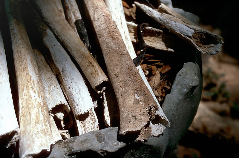 |
| Picture: Bones of murdered children. Intellectuals, it was enough to be able to read, to wear glasses, be a teacher, civil servant or a Buddhist monk, were executed by the Khmer Rouge, including their spouses and children. To save ammunition adults were killed with shovels, axes and iron bars. Children were beaten against trees until they were dead. The bodies were buried in mass graves.
|
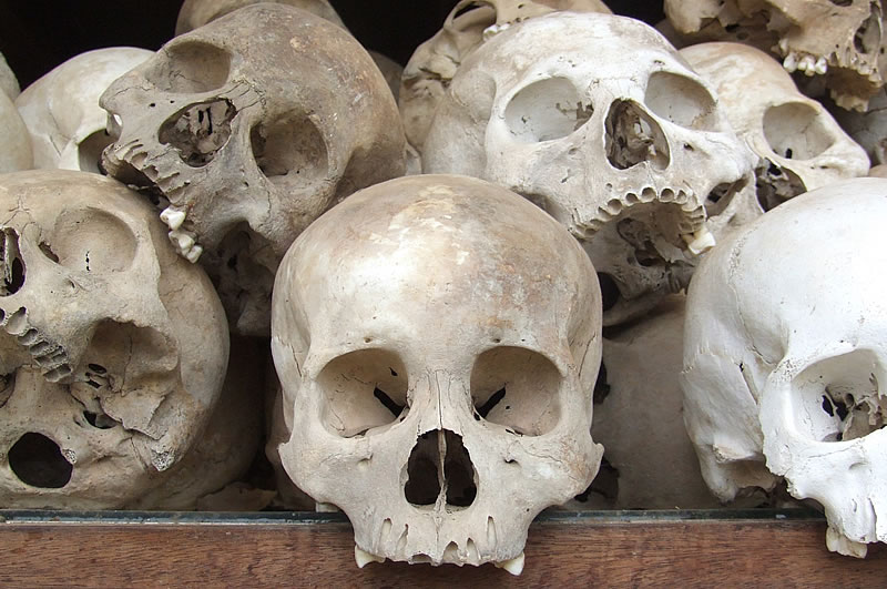 |
| Picture: In the Buddhist shrine of Choeung Ek are approximately 9,000 human skulls exposed. Next to the shrine are the mass graves from which the bodies were exhumed. Until today human bones are scattered all over the place. |
Mekong River |
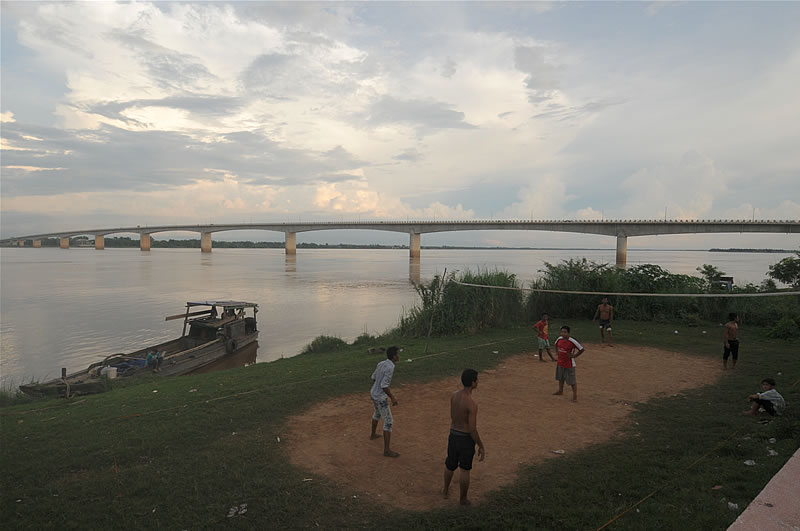 |
| Picture: In Kampong Cham, about 100km north of the capital Phnom Phen, I have reached the Mekong River, which is crossed here by a several kilometers long bridge. From here on I'm following the river upstream through Cambodia and Laos until northern Thailand. |
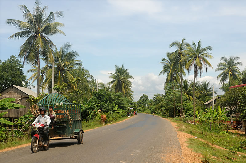 |
| Picture: Through idyllic landscapes and villages along the Mekong River (shortly before Kratie). |
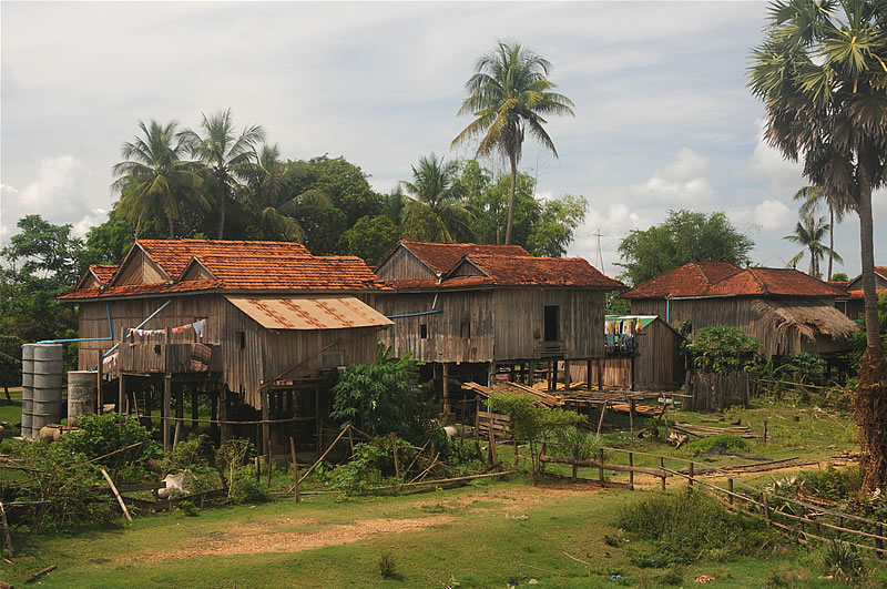 |
| Picture: Country life at the banks of the Mekong River. Cambodian farmers are very poor. Medical care and electricity is inaccessible for most of them. |
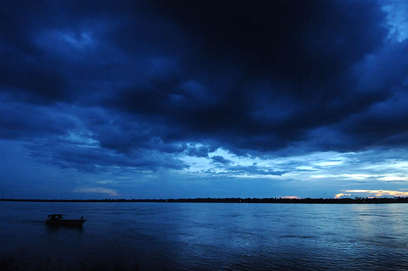 |
| Picture: Evening at the Mekong in Kratie. |
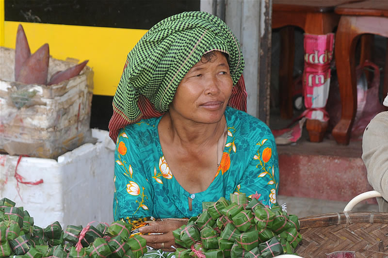 |
| Picture: On the morning market. |
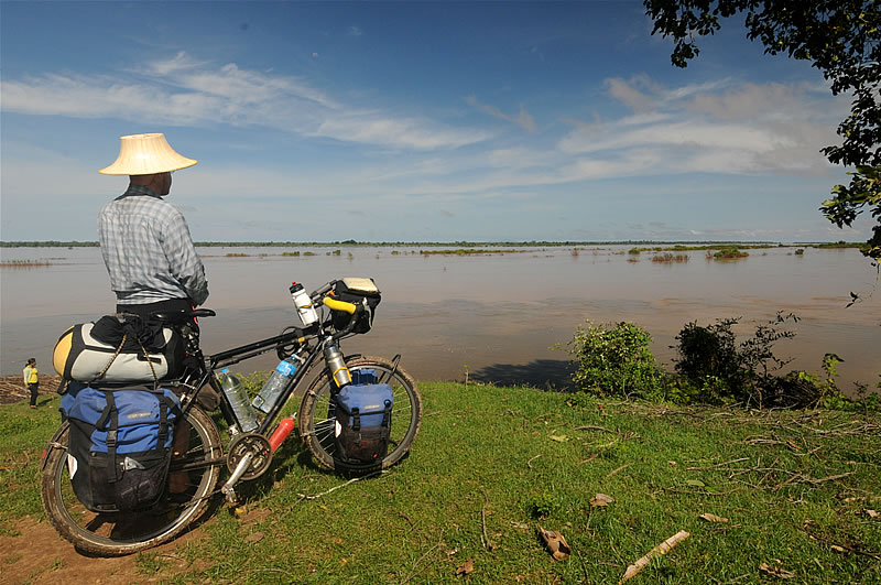 |
| Picture: Just some kilometers north of Kratie it is possible to watch the famous Mekong dolphins hunting and playing. They get up to 3 meters long and 160 kilograms. Unfortunately they are threatened by extinction. |
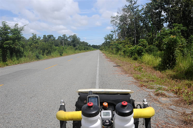 |
| Picture: The landscapes in northern Cambodia are dominated by vasts forests. But it is not recomendable at all to camp there or even just having just a short walk because there are still many unknown minefields. Along the road are warning signs. Many landless farmers try in their desperation to settle on this mined land, and so tragic and often fatal accidents happen. |
|
|
|
Next side: Preparatory Tour Mekong prt. 2 |
|
|
|
|